Amorgos is about 34 km long, and has well-marked footpaths, donkey trails and hiking routes along much of the island. Sections of the trails are maintained and cleaned of litter by a volunteer group called WalkTheBlue Amorgos. check out their Facebook page for photos of some of the trails and their amazing views, as well as pictures of participants engaged in some of the ongoing path cleaning projects.
Local tour groups offer organized hiking tours, but it’s easy to explore Amorgos entirely on your own. Pick up a decent island map in a minimarket or tourist shop, choose a route, look for the hiking signpost and start walking!
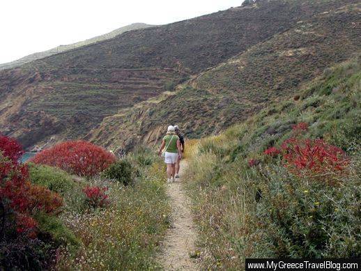
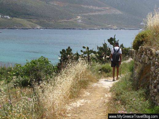
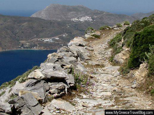
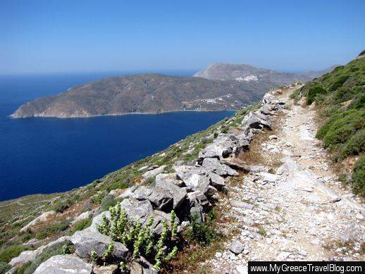
Walkers follow a trail above Egali Bay, en route to Levrossos Beach
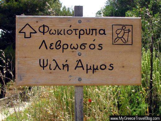
This sign points the way to Fokiotrypa, Levrossos and Psili Ammos
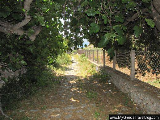
A tree-shaded section of path between Egali and the village of Lagada
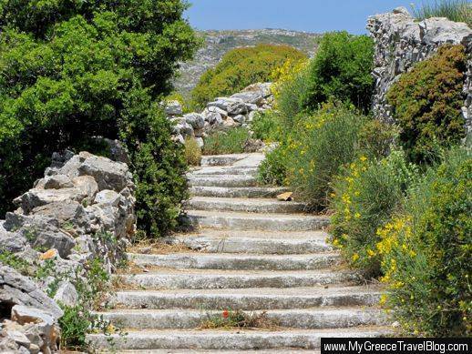
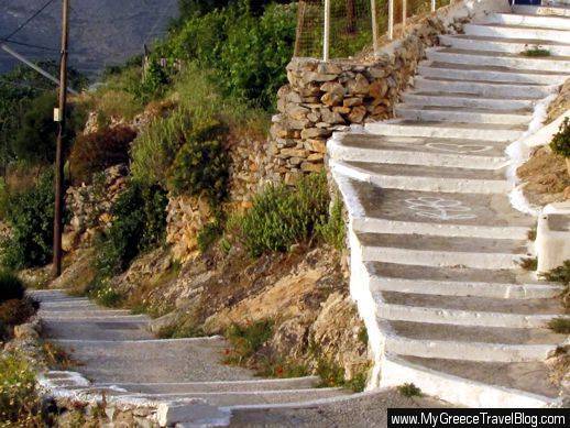
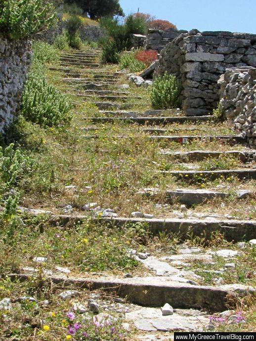
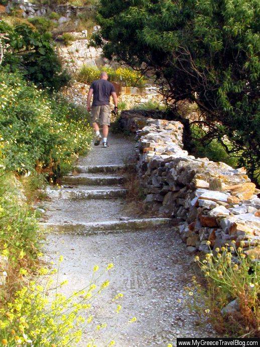
Steps on the path between Lagada and Stroumbos
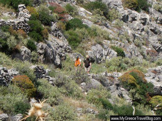
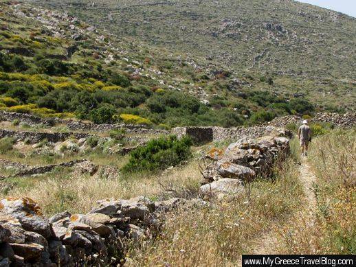
Two tourists hiking in the valley below Tholaria
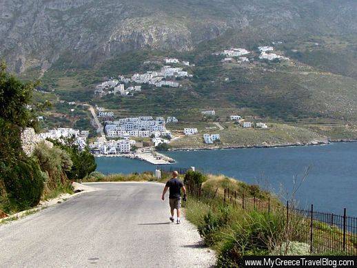
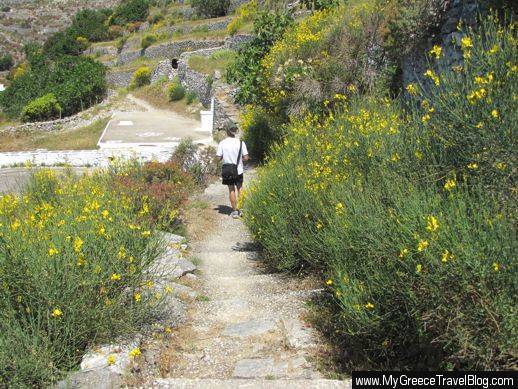
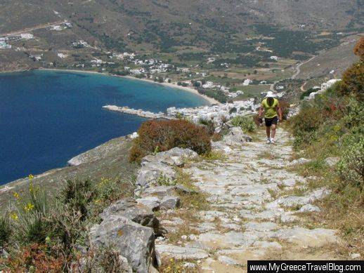
Walking down a paved road overlooking Egali bay and the port quay. The villages of Potamos cling to the mountainside above Egali.
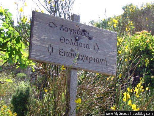
This sign offers three walking options — routes to Lagada, Tholaria or the Panagia Epanochoriani church, all above the valley behind Egali
A path leading from Potamos to Asfontilitis
Walking a dirt path on the hillside above Egali Bay
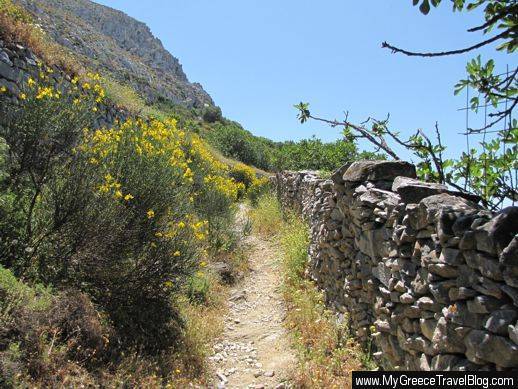
Following a trail that leads to Tholaria village
Two hikers walk along a stone path in the valley below Tholaria. Click on the image to view it in a larger size.
The sign for a challenging long path leading to Theologos and. much farther along, to Stavros, a mountaintop point near the northeastern tip of Amorgos
Steps that lead through the mountainside villages of Potamos above Egali
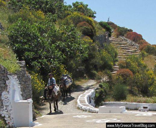
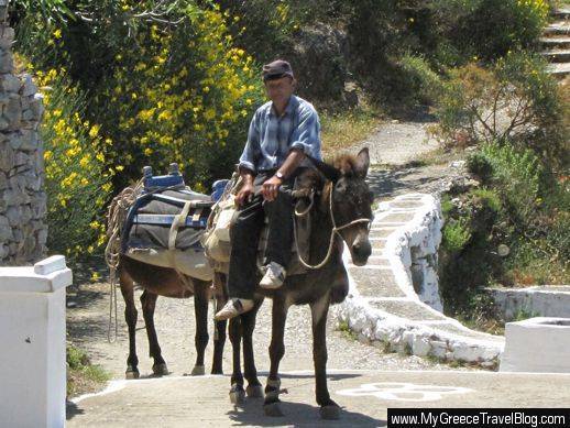
You’re bound to encounter other hikers on the Amorgos trails, or perhaps even a resident, like this local man leading two donkeys down a path above Potamos
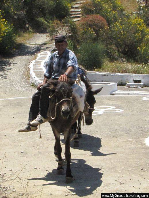
The locals we encountered during our hikes were very friendly …
… and were always happy to pose for photos with their donkeys
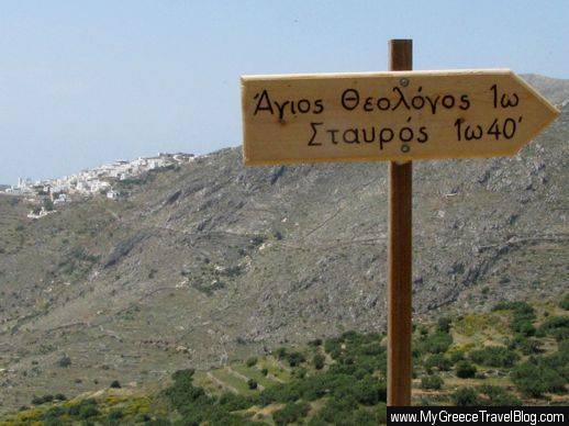
A sign indicates it’s a 1-hour walk to Agios Theologos, and 40 minutes farther to Stavros. The village in the background is Tholaria, on the far side of the Egali valley.
A trail climbs high above Egali Bay. Visible on the mountainside in the background are Tholaria village (top) and the Aegialis Hotel & Spa complex (lower left)
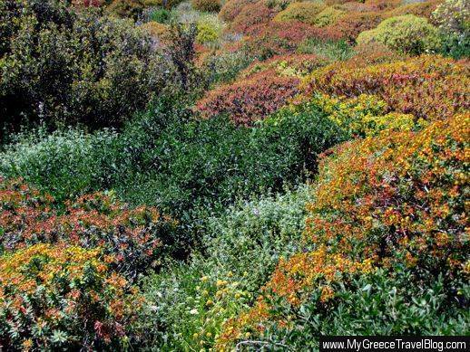
Herbs and spring flowers add colour to a path on the mountain above Potamos
In May 2009, we arrived at Amorgos just in time to see the island awash with the colours of spring flowers and fragrant with the aromas of wild herbs …
… and buzzing with the steady hum of millions of bees collecting nectar and pollen from the flowers. By the time we left Amorgos a few days later, many of the spring flowers had died off or lost most of their blooms. Had we visited the island only a week later, we would have missed most of the vibrant floral display.
Egali village, bay, beach and port viewed from a footpath to Potamos village
Looking toward Lagada village from a trail in the upper Egali valley
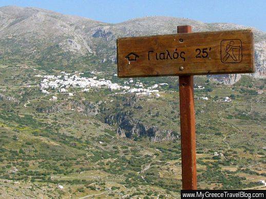
A sign shows the downhil lroute to Gialos. That’s Lagada village across the valley.
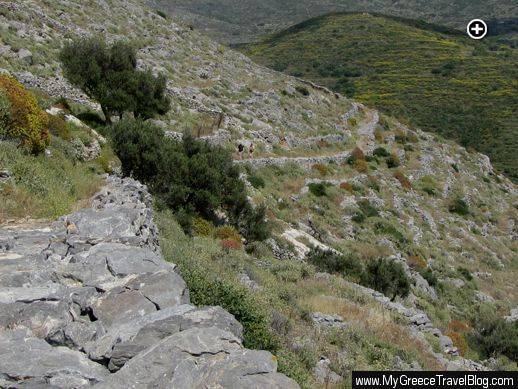
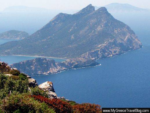
A tail on the hillside below Tholaria offers a spectacular view of the valley, Egali Bay, and Nikouria island. Click the image to view a larger photo.
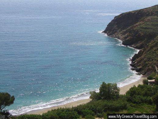
Looking down on Levrossos beach from a hillside hiking trail
Climbing a stone path high above Egali
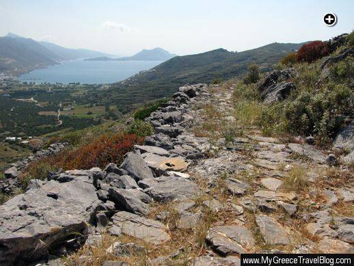
The trail is so high up, you can view the sea behind the mountains across Egali Bay
A view of Nikouria Island from the path between Potamos and Asfontilitis
Heading downhill on a trail that will eventually turn uphill to Tholaria
Walking up a path past Potamos village






Leave a Reply