We left our hotel in Aegiali around 11 a.m., and started our valley hike in a counter-clockwise direction, heading uphill to the village of Langada. From there we wound our way across the upper slopes of the valley following donkey tracks, cobblestone paths and narrow dirt trails, passing the tiny 12-house settlement of Stroumbos and the Church of Panagia Epanohoriani before reaching Tholaria village around 3 p.m. We relaxed with a drink on a taverna terrace in Tholaria before making the downhill trek to Aegiaili and returning to our hotel shortly past 5 p.m. (I’ll write about the hike in greater detail another time.)
I’ve also included some panoramic photos of the Aegiali beachfront, as well as nearby Nikouria island.
To view the larger images, simply click on each photograph to make the bigger picture “pop” open on your monitor. Click the “x” at the top right corner of each large photo to close the picture and return to the blog. (Note: Since the panoramics are composed of several images “stitched” together by the camera, you will notice the places where the separate pics were joined up.)
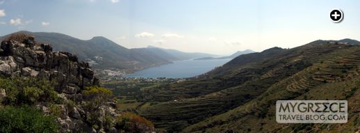
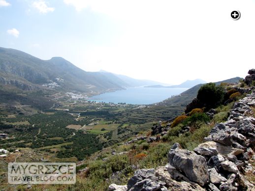
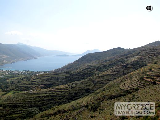
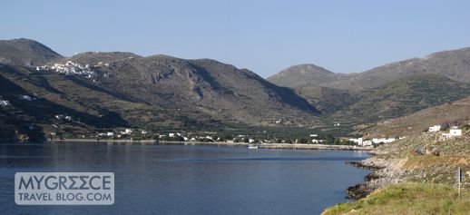
Looking toward Aegiali Bay from a point about two-thirds of our way around the valley. Some buildings in Tholaria village are visible at the far right side of the photo.
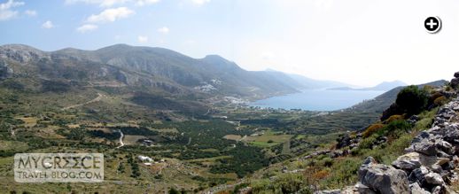
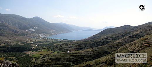
This wider panoramic view, from the same spot as the photo above, takes in a huge swath of the valley, Langada village, and the bay beyond. A large rocky crag blocks part of the view in the center of the photo.
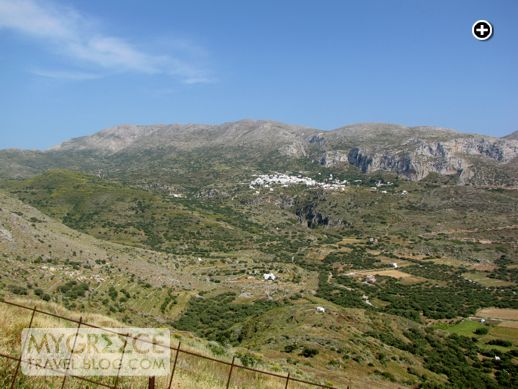
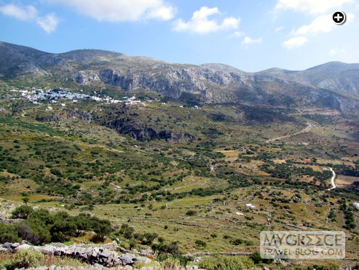
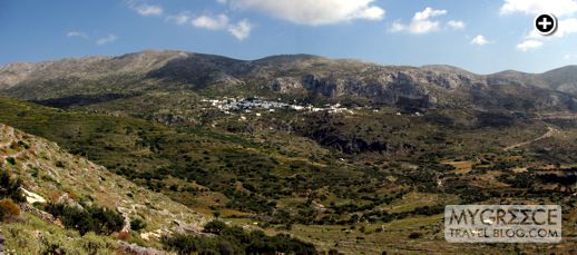
A view of the valley, Langada and mountains above the village. Several hiking trails lead to various locations beyond Langada. Our photos are from the easiest walk of the bunch.
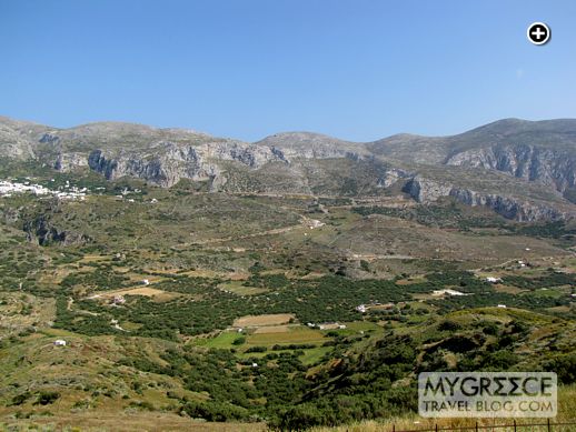
Looking across the valley toward the gorge below Langada village
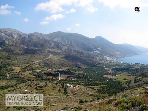
Farms in the lower valley area below Langada. The road that zig-zags down the valley from Langada to Aegiali is visible in the upper center section of the photo.
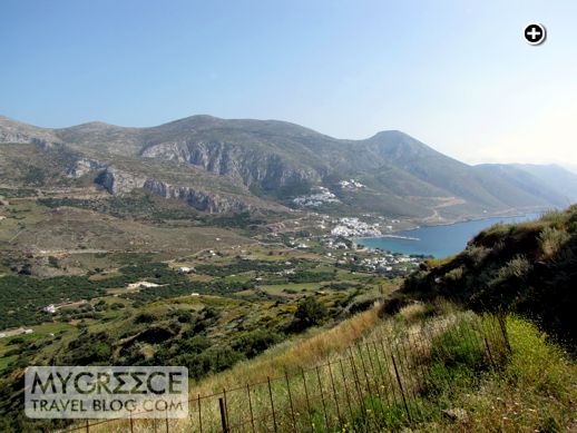
A nice wide view of Langada and the valley. This is my favourite photo from the hike.
A sweeping view of the full valley and part of the bay
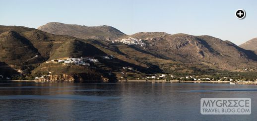
View toward the port town of Aegiali and whitewashed houses in the two Potamos villages partway up the mountain above the town
A view showing more of the bay as well as part of Nikouria island
A wider panoramic view from the same location, not far from Tholaria
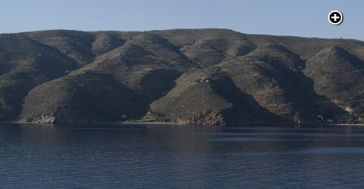
Terraces create a pattern on the wide hills below Tholaria. There’s a better view of Aegiali and the Potamas villages from this point.
Another view of the terraced hillside below Tholaria
Wider panoramic view of the two Potamos villages and the port town of Aegiali at left, the bay in the center, and the terraced hillsides below Tholaria
Our last view of the valley before we round a bend on the hillside and climb the final section of footpath to Tholaria
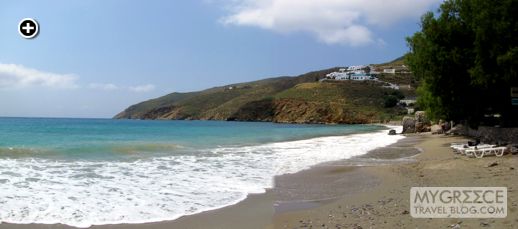
Looking toward toward the town from the far end of Aegiali beach
A view of the beach from the opposite direction
Looking toward the beach and port from a point just outside Aegiali on the highway to Chora
Tholaria village can be seen high up the mountain in the center of the photo. The Aegialis Hotel is the complex of white buildings partway up the hill on the left side of the photo.
The north coast of Aegiali Bay. There are several beaches here, which can be reached on foot by hiking paths or on shuttle boats from Aegiali.
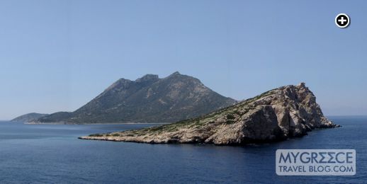
Nikouria Island, viewed from a point on the road from Aegiali to Chora
Another view of Nikouria Island from the road between Aegiali and Chora







Leave a Reply